NEWS
NEWS
January 6, 2020
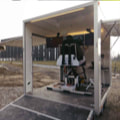
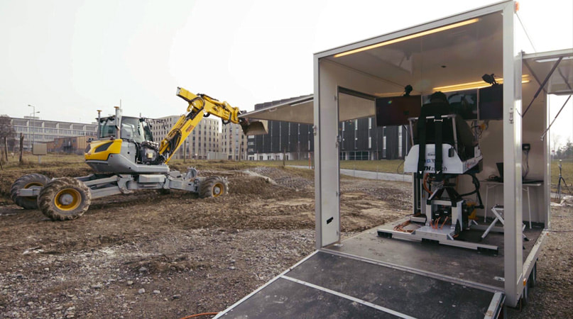
How to Automate a Walking Spider Excavator with Machine Control?Leica Geosystems develops fully autonomous excavators with Menzi Muck and the Robotic Systems Lab from the ETH Zürich in Switzerland.
December 30, 2019
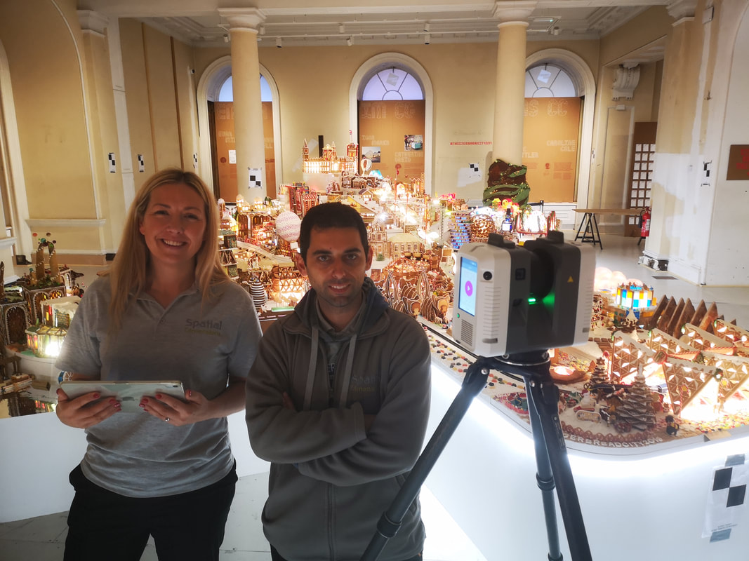
A Festive Deliverable – Capturing Gingerbread City in 3DGingerbread City is an annual public exhibition showcasing design ideas for future sustainability and ingenious new ways to move about our ever-increasingly populated cities.

December 19, 2019
How a Forensic Agency is Solving Cases with Reality Capture & How You Can Do it tooThese are the three elements Dan Sharp, senior imaging officer for West Yorkshire Police in Wakefield, and his team processes, analyses and visualizes to provide court-ready deliverables, helping to solve different crimes in the United Kingdom.
December 2, 2019
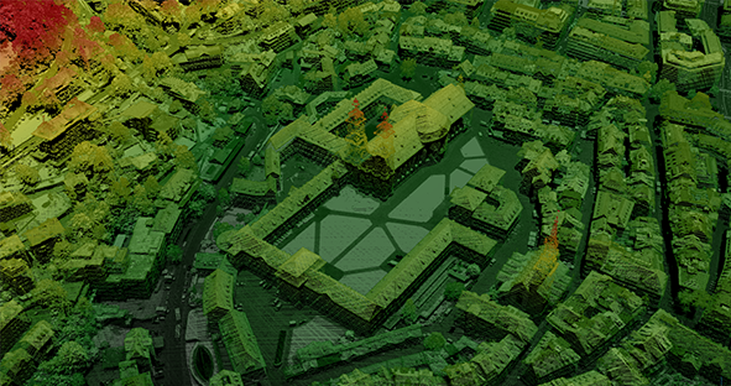
5 Questions to Ask Before Buying an Airborne LiDAR SystemImproved scanning technology offers many options for geospatial professionals who are contemplating purchasing an airborne LiDAR system, ranging from high powered lasers on planes to lightweight sensors on unmanned aerial vehicles (UAV).
November 19, 2019
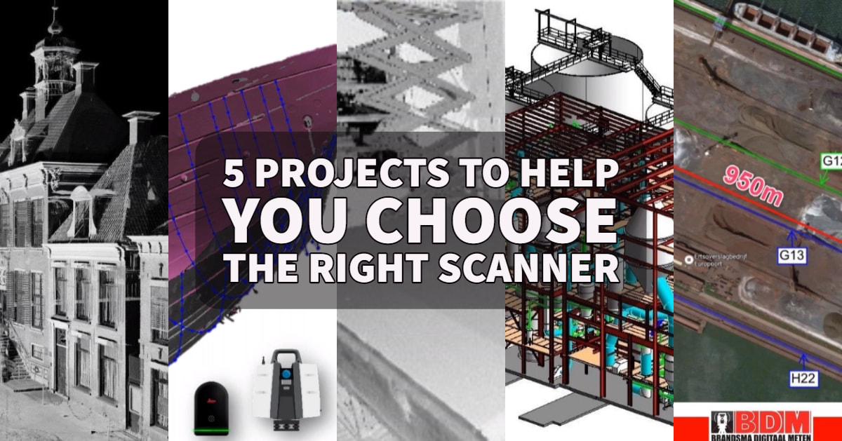
The Right Laser Scanner for the Right Job – 5 Projects to Help You ChooseHave you been wondering which laser scanner is the right one for your projects? Whether you have your eyes on the Leica BLK360 imaging laser scanner, or the Leica RTC360 3D laser scanner or the Leica Scan Station P-Series, this blog will exemplify the diverse range of projects you can do with a laser scanner and how laser scanners can work in conjunction.
|
RECENT POSTS
|